1850s San Francisco maps vs Today
Tuesday, 2 February 2016
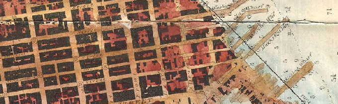
Wikimedia Commons holds a few remarkable maps of San Francisco from the 1850s. These maps, done as part of the US Coast Survey (now the National Geodetic Survey) were made a half century before the 1906 earthquakes and show a San Francisco that was largely limited to the Northeast part of the current city.
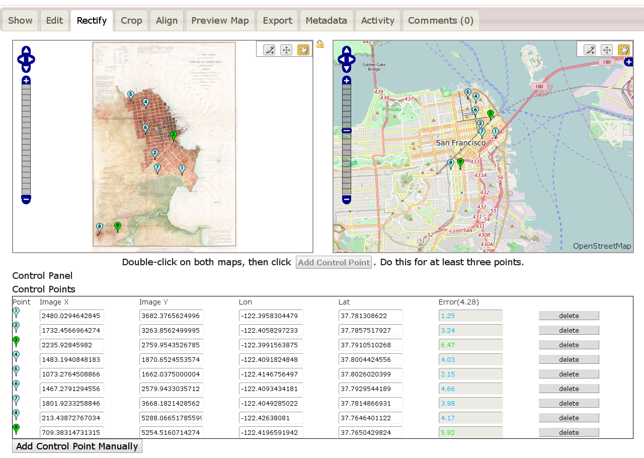
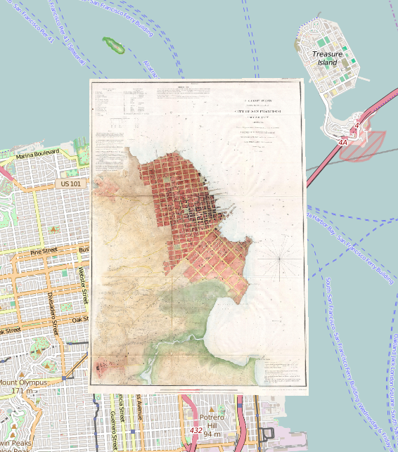
I went ahead and matched up an 1853 map and an 1859 map to today’s map of San Francisco using the amazing Map Warper tool. Shown below are mostly the 1853 maps. All modern-day street maps are copyrighted by the OpenStreetMap contributors. (See bottom of post for links to this map on Map Warper.)
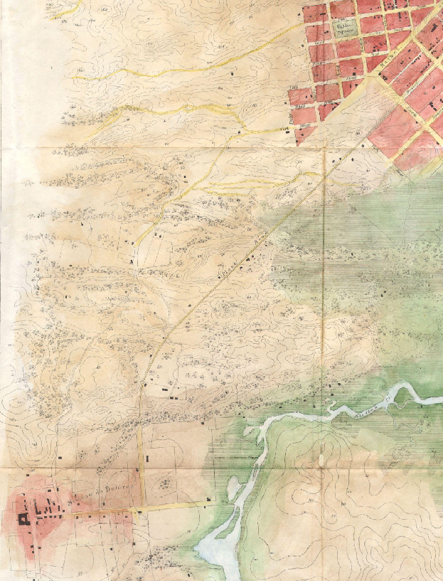
We see a city that doesn’t extend much past 3rd Street. That red smudge in the lower-left corner is the Mission.
Portsmouth Square is still there.
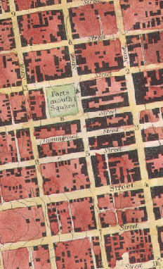
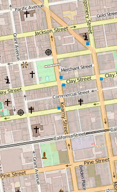
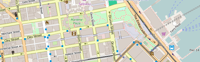
Here are snippets from the 1853, 1859, and modern-day maps. What is now the Embarcadero was then shallow water—the city did not extend as far out into the water as it does today. If you look at the 1859 US Coast Survey map of SF (middle image), you can see construction of what would become the Embarcadero.

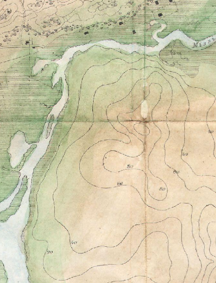
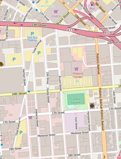
Water filled Mission Bay instead of luxury apartments:
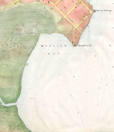
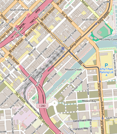
Treat Avenue and Division Street trace along where Mission Creek once ran.
Mission San Francisco de Asís was there, of course, although Mission Dolores Basilica was constructed from 1913-1918.
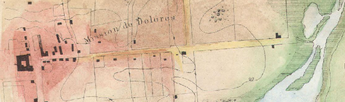
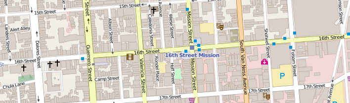
The Mission was connected to the city by Plank Road, which became Mission Street.
Naturally, viewing static images is no fun. For a pannable version of these maps, check out these Map Warper pages:
1853 San Francisco: https://mapwarper.net/maps/12364#Preview_Map_tab
1859 San Francisco: https://mapwarper.net/maps/12374#Preview_Map_tab
There, you will also find TMS URLs and other options for viewing these rectified maps in your favorite GIS.
The original files can be found on the Wikimedia Commons: